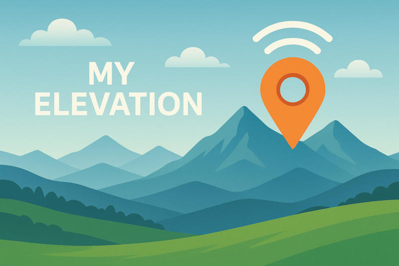
How to Use My Elevation
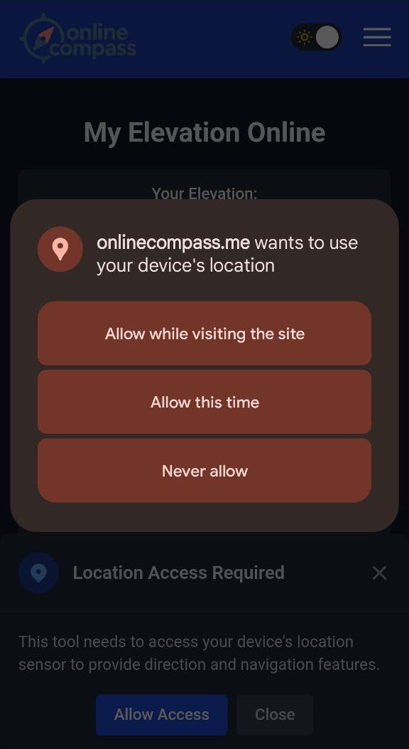
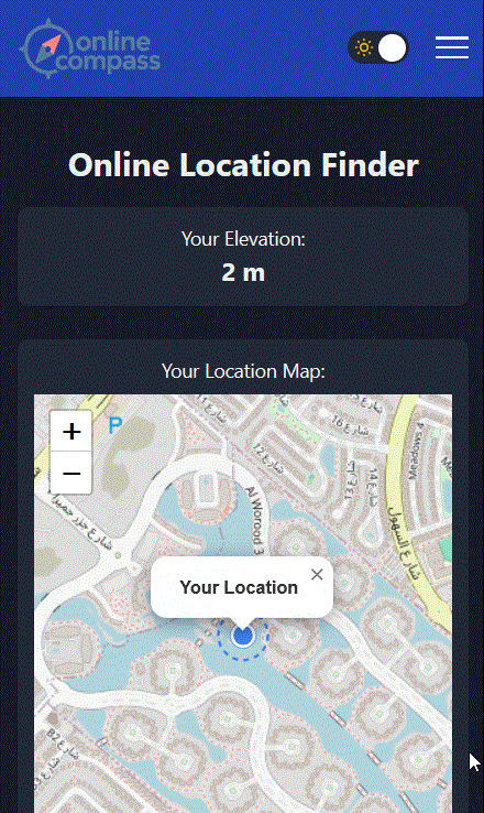
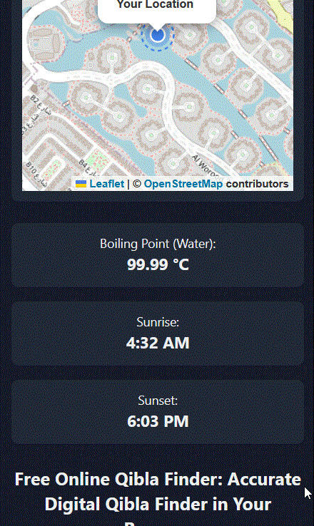
My Elevation tool uses your device’s location services to determine and display your elevation above sea level in meter. To function correctly, it requires permission to access your device’s location sensor. If this permission is not granted, the tool will not be able to accurately show your elevation. To grant access, click the blue Allow button and grant access to the location through your browser. In addition to the height above the water surface, the boiling point of water, sunrise and sunset times are also displayed.
The video below shows how my elevation works:
How Does It Work?
The "My Elevation" tool determines your elevation relative to sea level using your device's GPS coordinates and a global elevation database. While many smartphones can provide altitude using built-in sensors, altitude alone is not always accurate or reliable for showing your true elevation above sea level. GPS altitude is calculated relative to a mathematical model of Earth called the ellipsoid, not sea level. This can lead to errors of 20 to 50 meters or more, depending on your location. At sea level, water boils at 100°C (212°F). But as elevation increases, atmospheric pressure decreases, meaning water boils at lower temperatures. In higher altitudes, there's less air pressing down, so water molecules escape more easily as vapor. Your geographic location plays a major role in determining the exact times of sunrise and sunset. These times aren't fixed—they change daily based on where you are on Earth.
Use Cases of My Elevation
My Elevation tool is used in many ways. Some of the uses include hiking and mountaineering, estimating weather conditions, calculating the boiling point of water, and calculating sunrise and sunset times.
Sunrise and sunset times
The times of sunrise and sunset are calculated using geographical latitude, longitude, the date and time, and sometimes elevation above sea level. These calculations are based on astronomical models and represent the moments when the upper edge of the sun appears above the horizon (sunrise) or disappears below it (sunset). This information has diverse applications, such as determining precise prayer and fasting times in Muslim communities, optimizing the performance of solar energy systems by identifying the maximum hours of sunlight, and planning activities like photography, agriculture, or outdoor events according to daylight hours.
Weather and Climate Modeling
Elevation influences local climate. higher areas tend to be cooler and may receive more or less precipitation. Meteorologists use elevation data to improve forecasts.
How does my elevation tool work and what does it measure?
My elevation tool uses your device's location services to determine and display your elevation above sea level in meters. The my elevation tool works by using GPS coordinates and a global elevation database to provide accurate sea level measurements, rather than relying on smartphone altitude sensors which can have 20-50 meter errors. My elevation tool also displays additional information like the boiling point of water at your altitude and sunrise/sunset times.
What additional information does my elevation tool provide besides altitude?
In addition to elevation above sea level, my elevation tool displays the boiling point of water at your current altitude, since water boils at lower temperatures as elevation increases due to decreased atmospheric pressure. My elevation tool also calculates and shows sunrise and sunset times based on your geographical location, latitude, longitude, and elevation data.
What are the main use cases for my elevation tool?
My elevation tool is used for hiking and mountaineering to track altitude gains, estimating weather conditions since elevation influences local climate, calculating the accurate boiling point of water for cooking at different altitudes, and determining precise sunrise and sunset times. My elevation tool is also useful for weather and climate modeling, as meteorologists use elevation data to improve forecasts since higher areas tend to be cooler with different precipitation patterns.
Why is my elevation tool more accurate than smartphone altitude sensors?
My elevation tool is more accurate because it uses GPS coordinates with a global elevation database rather than relying solely on smartphone sensors. GPS altitude from phone sensors is calculated relative to a mathematical model called the ellipsoid, not actual sea level, leading to errors of 20-50 meters or more. My elevation tool corrects these inaccuracies by cross-referencing your GPS location with precise elevation databases to show true elevation above sea level.